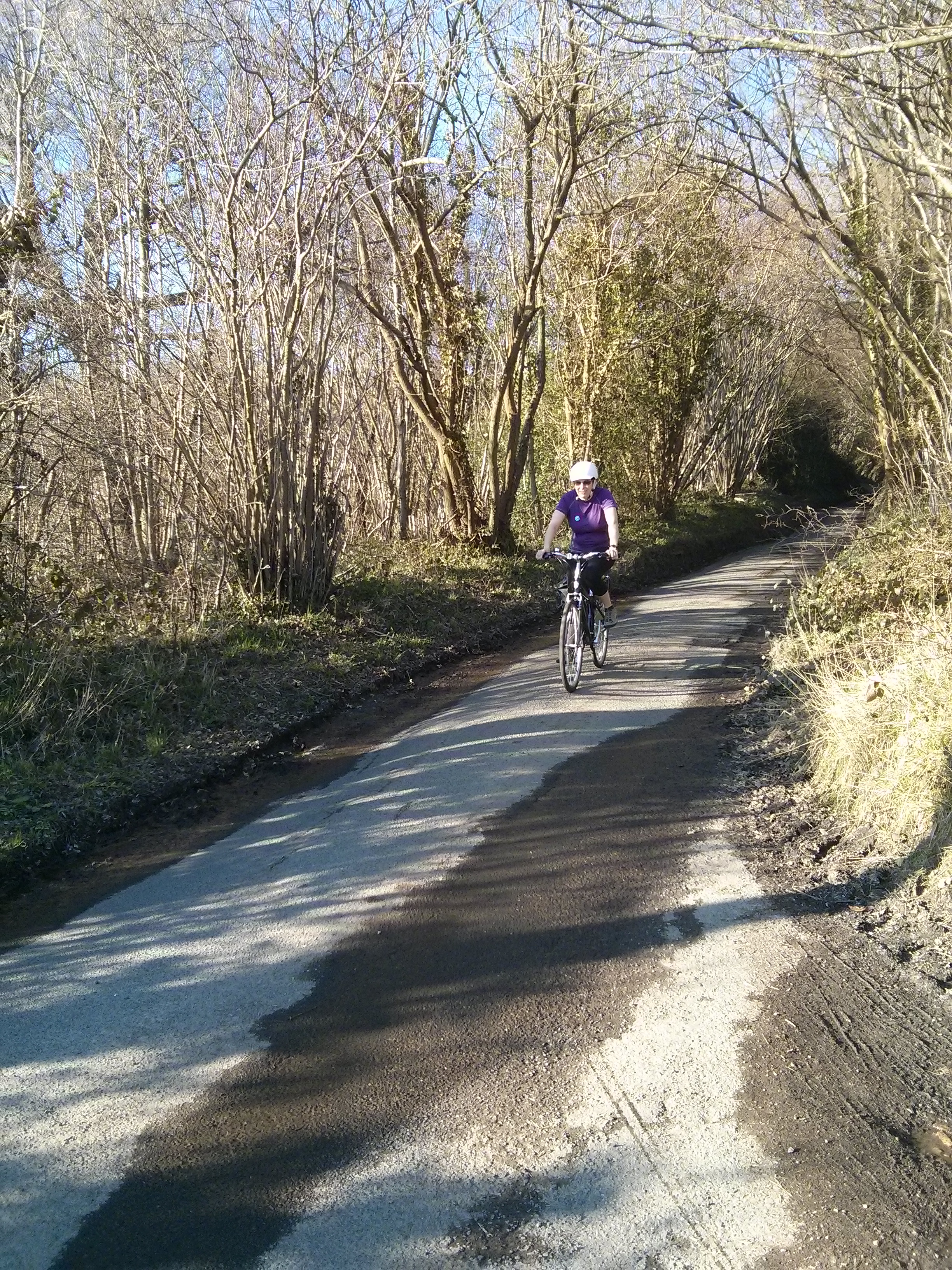
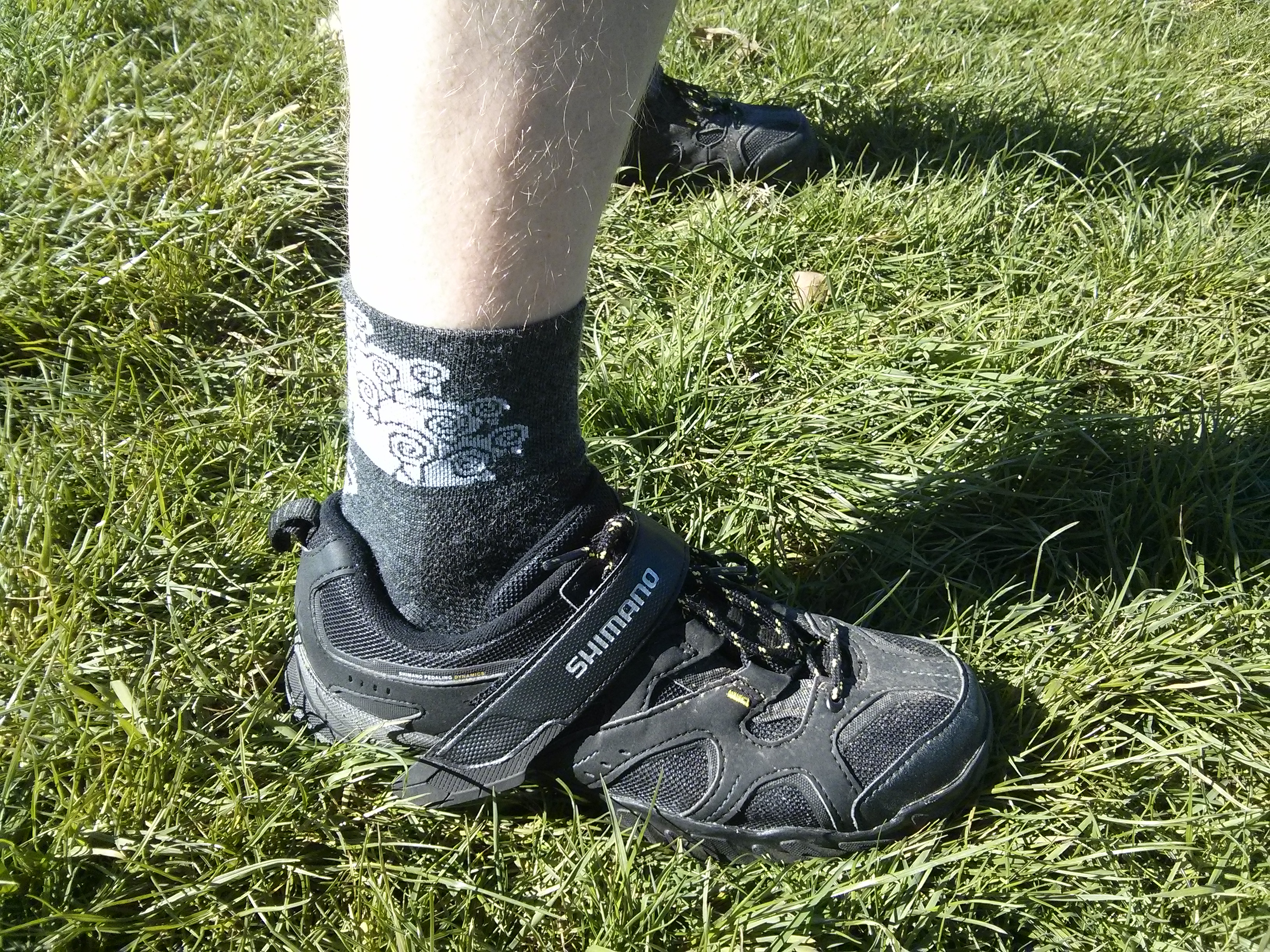
For our second training ride we headed to Richmond Park to get some idea of where we are on pace without the interruptions of traffic lights or getting lost, which we normally do a lot while out riding. And I got to try out my new Team Sheep cycling socks, a quality find by Audrey!
For those of you not in the London area, Richmond Park is a beautiful expanse of parkland in southwest London adjacent to Wimbledon Common, containing lots of deer. It also contains lots of cyclists of all different shapes and sizes due to the very nicely paved roads, relatively light traffic, and extensive off-road cycle paths for the more relaxed family oriented cycling. The 6.7 mile loop is particularly popular with road cyclists, as it contains some decent elevation changes and also is 6.7 miles without any traffic lights, an extreme rarity in London! Apparently a good test of cycling fitness is three full laps in an hour; I very much doubt we will be troubling that kind of pace ourselves at any point in this process. That notwithstanding, I’m sure we will make frequent use of this park throughout our training, as it is relatively local for us.
After a leisurely ride there using the newly-paved Wandle Trail to Earlsfield then cutting across via Wimbledon Park (a great route there if you’re in the Colliers Wood / South Wimbledon area, see the route map below), we reached Richmond Park.

As it happens every person in London who owns a bike clearly had the same idea and, due to the unseasonably warm weather, those without bikes had also driven there so the roads were busier than we’d hoped – particularly around the car parks.
Nevertheless, we did three anti-clockwise short laps (including Sawyer’s Hill but skipping Broomfield Hill and Dark Hill, giving a ~5.5 mile loop with a decent but not onerous amount of climbing) for a total of 17.3 paced miles. The traffic around the car parks slowed us up some, but other than that we were able to maintain a natural pace so a fairly good test; our average speed coming in at 13.1mph over the three laps.

After this, I did a full 6.7 mile lap on my own to test out how fast I’m able to go at this point and see what my new bike feels like at a faster pace – in this case I averaged 16.4mph. Very whizzy, but no way I could have maintained that for more than one lap!
Overall an encouraging ride making a decent pace on the laps we rode together – at that pace we should knock Boris’ time into a cocked hat. Just a touch (six times) more endurance needed.
All that remained was a gentle ride back, pausing at the Leather Bottle in Earlsfield to sample their enormous beer garden and enjoy a couple of well earned pints in the last of the day’s sun.
Overall ride summary:
- Paced section:
- Distance: 17.3 miles
- Elevation gain: 884ft
- Average moving speed: 13.1mph
- Unpaced section (there and back):
- Distance: 13.2 miles
- Elevation gain: 487ft
- Average moving speed: 10.5mph
- Mark’s extra lap:
- Distance: 7 miles
- Elevation gain: 380ft
- Average moving speed: 16.4mph
- Total distance: 30.5 miles (Audrey), 37.5 miles (Mark)
- Total elevation gain: 1,371ft (Audrey), 1,751ft (Mark)
- Total training miles to date – Mark: 68 miles, Audrey: 61 miles