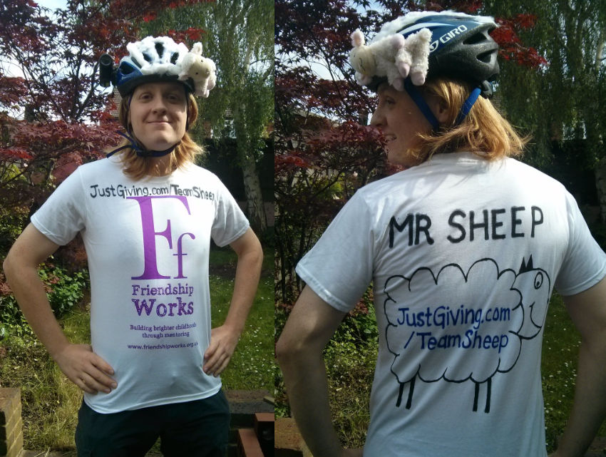
Thursday 19 June – Sunday 22 June. T-minus 7 weeks to Ride London.
Total Team Sheep Miles: 1665; Total raised for Friendship Works: £478
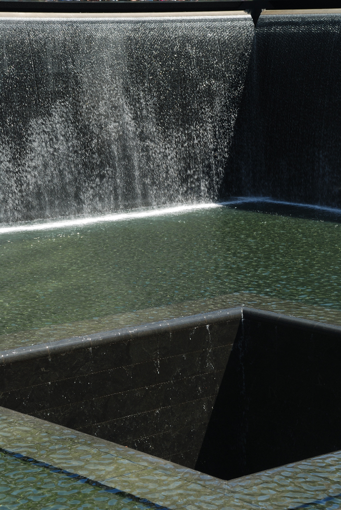
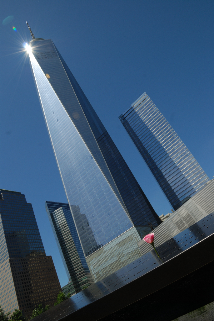
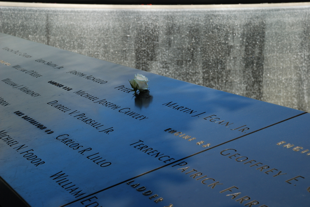
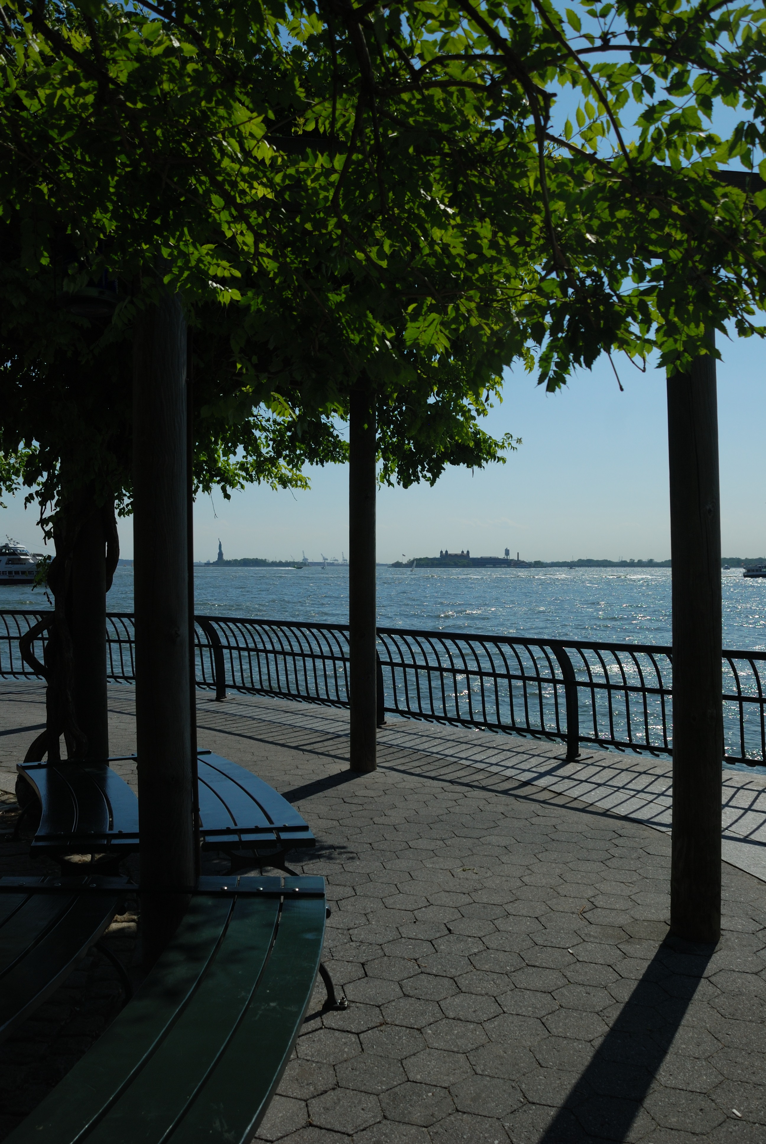
For our adventures in New York in the first half of the week, see Part 1.
Fundraising Update
Before we get into our long ride in the North Carolina heat, a quick fundraising update. We’re nearing £500 raised now thanks to all our fabulous sponsors – if you’ve not had chance yet you can join them here and donate to Friendship Works in dollars or pounds. Read our welcome post for why we’re supporting this fantastic charity! And with that, on with the ride…
The American Tobacco Trail
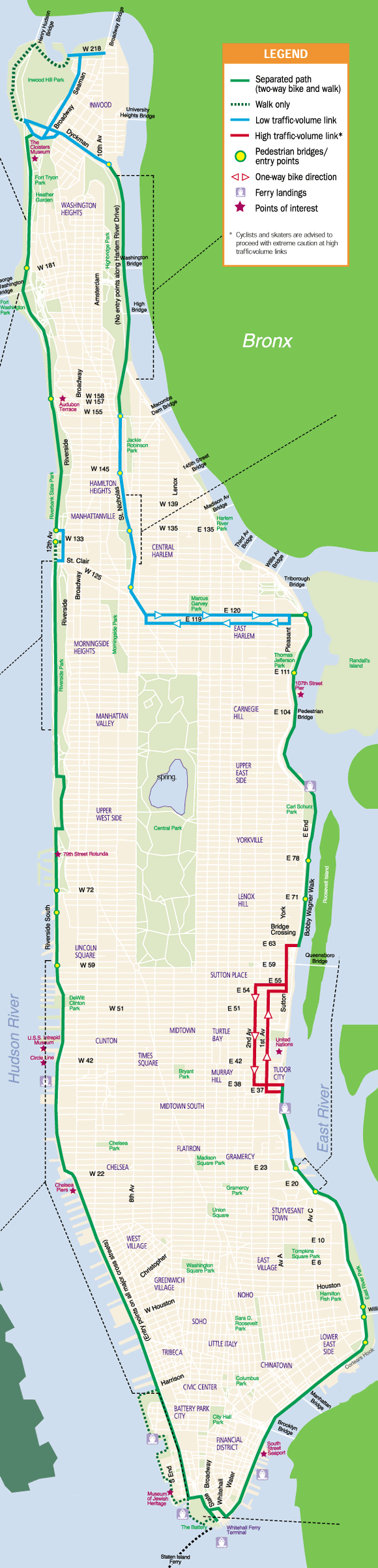
We were in Chapel Hill, North Carolina from Tuesday and the newly-contiguous American Tobacco Trail (ATT) seemed ideal for a long ride. Starting from downtown Durham, it runs 23 miles through Durham, Chatham and Wake counties along former rail lines. Until recently the first seven miles, from downtown Durham, were severed from the rest of the trail by interstate 40 – after years of construction problems, a bridge finally opened this spring. The ATT is one of many former rail corridors now being converted for use as a bike/run/walk trail across the US – they have the benefits of relatively level gradients and, often, going places people may actually want to travel between, so make great cycling routes.
There isn’t much information out there on the distances now available on the ATT – we knew some of it was paved but not how far, or what the surface was beyond that. We also saw several different total lengths, so weren’t even confident about that. Hopefully this post will be some use to others wanting to use the trail, as we found the answers to these questions along the way! With the heat hitting 94°F / 34°C, we planned to head south along the trail until either the good surface ran out, we got too hot or we ran short of water, then double back, hopefully giving us a total of around 45 miles.
We hired a hybrid and a road bike (all they had in our size) from Durham Cycles who were thoroughly helpful, doing full top-to-tail bike checks before we set off and giving lots of advice. We swapped the two bikes between us throughout the ride.
Carrying plenty of water but keeping everything else to a minimum (no backpacks in this heat!), we hit the road. It was two miles to the start of the trail, on-street but not busy in the mid-morning, and we reached the trailhead at 11:30, just in time for the hottest part of the day.
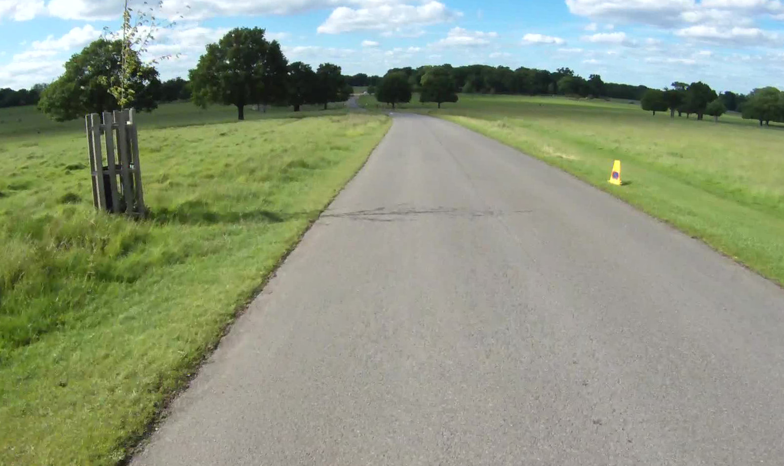
The first seven miles of the trail, most of the way to I40, are consistently excellent – wide and very smoothly paved. The trail gently meanders through the houses and trees of Durham (then wider Durham county), rising up over some fabulous former railway bridges but never steeply so.
Occasional minor road crossings are handled with zebra markings; the traffic being generally quiet this arrangement worked fine. A couple of larger roads are crossed in this section too – Martin Luther King Jr Parkway had us use the pedestrian crossing, while Fayetteville Road simply had a button to make an orange light flash – not the most useful intervention.
We maintained a decent pace through this first section, me taking the first shift on the road bike then swapping at the five mile point. The shade of the trail was keeping us out of the worst of the heat and the cooling rush of air while cycling made it quite pleasant, though whenever we stopped it was like being in an oven!
Before reaching the new bridge over I40, there’s a slightly confusing section where the trail disappears (the rail corridor is long gone here under houses and shops) – just enough signs take you along a windy path and short stretch of sidewalk but a few more would help!
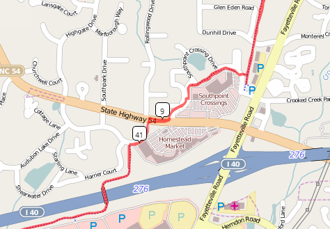
Over the bridge we went (surprisingly bumpy for being brand new but certainly better than trying to walk or cycle across an interstate – see the short video below) then the high quality trail continues through Southpoint shopping centre, the last major civilisation for many miles! If you’re riding the length of the trail, this is the last chance to pick up supplies, as there’s essentially nothing after this point.
The quality of the trail changes at each county line – through Durham County (to Scott King Road, 10.5 miles in) it is smoothly paved, nicely wide, and has the names of cross streets painted on the ground at each road crossing with distance markers every quarter mile, to help you keep your bearings.
In Chatham County (proudly maintained, according to the signs, by the Town of Cary) it is again well paved, but mostly unmarked. The last section, starting at New Hope Church Road (15 miles in) and running 7.7 more miles, is in Wake county. This has a good quality fine gravel surface which was easily rideable (although I would avoid it in the wet if you’re on a road bike). Not nearly as nice as the paved sections that precede it, but better than a lot of gravel paths out there.
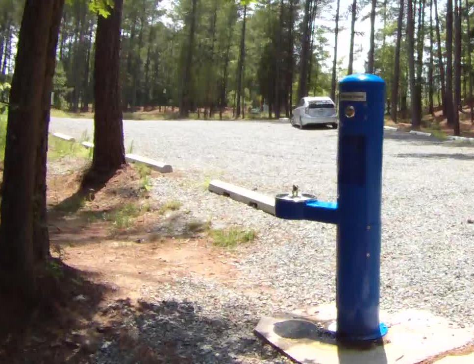
After Southpoint there are no places to buy supplies (indeed there isn’t much of anything except nice woodland riding!), so we were very thankful to find a water fountain (with a handy bottle filler, no less) in the car park at Pittard Sears Road, 13.5 miles in. We made extensive use of it to refill and cool off – on the way out we’d used over half our water by this point so would’ve needed to turn back without it. Huge thanks to the Triangle Rails to Trails Conservancy who installed it (and REI for funding the equipment purchase); it meant we could press on much further and also have the confidence that we could fill up on the way back too.
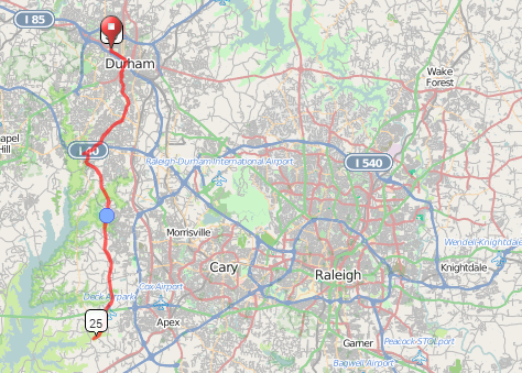
At the far end, the trail ends at a large trailhead carpark, and the worst surface we encountered all day leading from the trail to the car park – loose rough gravel up a steep hill. The total trail length was indeed around 23 miles (my GPS recorded 24.7 including the 2 miles we’d done to the start), and this marked the half way point of our ride.
It was getting very hot by now, and as we made our way back, the sun was more directly overhead so we had little escape. By the time we got back to the water fountain (34 miles overall) we were very nearly out of water again, thanks again Triangle Trails!
From there, it was a more comfortable ride back, a bit more shade being available and plenty of water to keep us cool and hydrated. The only problem – after 40 miles of baking hot cycling we’d had no food whatsoever. By the time we got back to Southpoint we were both feeling the effects of this – low energy levels manifesting themselves in sluggish cycling and fuzzy brains!
We stopped at Target and stocked up – a massive bottle of Gatorade (mmmm carbs! Also: I love the US – a bottle that big in the UK would need a mortgage and a credit check!), a huge salted pretzel (mmmm salt! mmmm carbs!), and a big old bag of Sour Patch Kids (mmmm more carbs!). Just what we needed! With that consumed, we knocked out the final few miles back to the trailhead in Durham, and the final two on-street miles back to Durham Cycles. As we pulled off the road, the odometer ticked from 49.9 to 50.0 miles, a perfect bit of serendipity to end the ride!

It was an excellent ride on the trail, we averaged 12.8mph moving pace, and felt good most of the way (with the exception of our self-inflicted problems caused by our stupidity in not taking any food with us!). We would highly recommend the ATT to anyone in the area looking for a good cycle route away from traffic.
After returning the bikes, we recovered over espresso milkshakes from Market Street Coffee.

The boring stats:
- Weekly distance: 95 miles (Mark), 95 miles (Audrey).
- Average moving speed (ATT ride): 12.7mph
- Moving time (long ride): 3h55m
- Total punctures to date – Mark: 0, Audrey: 2
- Total zero-speed falling-over-due-to-cleat-issues – Mark: 9, Audrey: n/a (still clever enough not to get involved in such stupid devices).
- Total training miles to date (including cycling to work, not including spinning or rollers) – Mark: 942 miles, Audrey: 773 miles.